Chasing Waterfalls: Cool off this Summer with these NC High Country Cascades
July 21, 2026
July 21, 2026
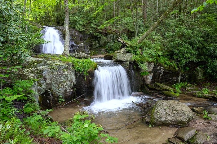
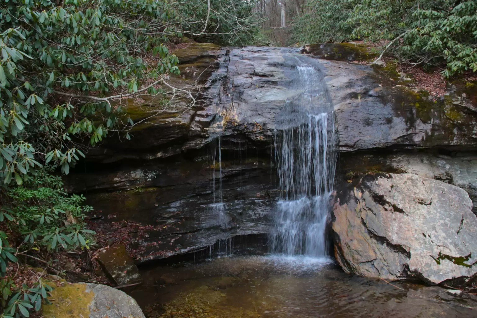
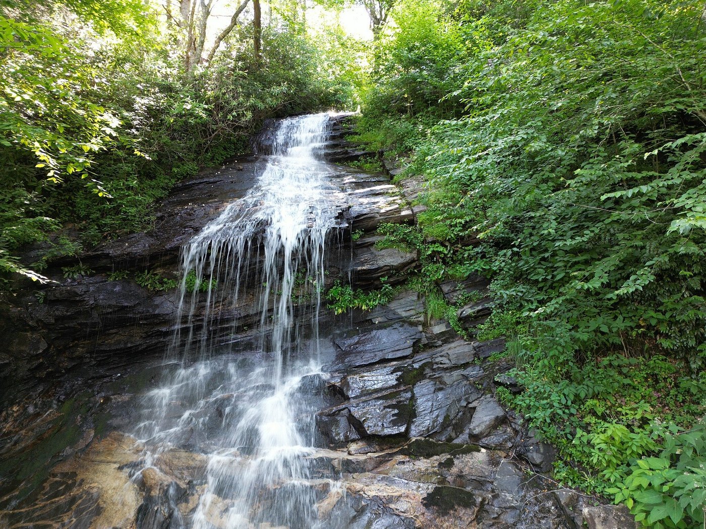
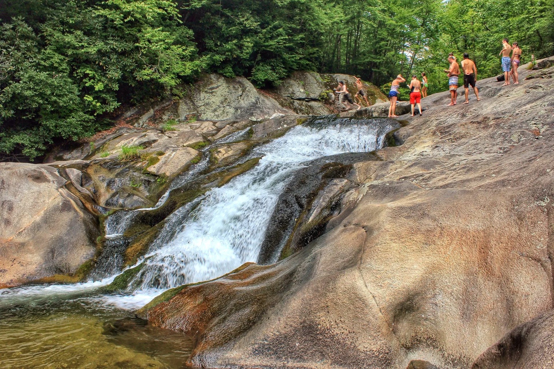
Summer in the North Carolina High Country is a great time to get outside. Versus the sweltering heat of the rest of the Southeast US, daytime temperatures here typically stay below 80 degrees, making it good weather for hiking, sightseeing, and cooling off at one of the area's waterfalls and swimming holes. Some waterfalls are a short walk from the road, while others require a longer hike through the forest to reach. Whether you want an easy stop or a longer trip, there are waterfalls for most activity levels.
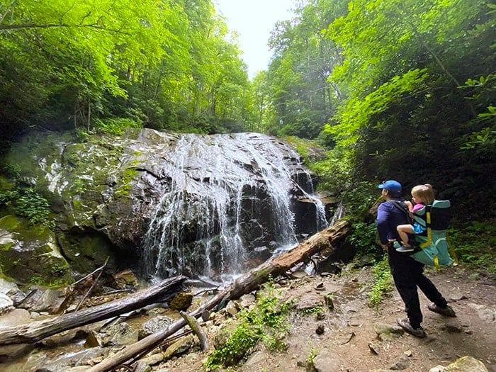
Glen Burney Falls | Blowing Rock
For those looking for a true hiking experience without ever leaving the town of Blowing Rock, the Glen Burney Trail is a must. The trail begins at Annie Cannon Gardens, just two blocks from Main Street, and follows New Year's Creek through a wooded gorge. The out-and-back hike is approximately 3.2 miles round trip with about 600 feet of elevation change. The trail is considered strenuous due to its steep sections, uneven terrain, and areas that can become wet and slippery. Hikers who complete the descent to the falls should be prepared for a challenging climb back to the trailhead.
Directions: From downtown Boone, take US-321 South to Blowing Rock (about 8 miles). Turn right onto Main Street, continue through downtown, then turn right onto Laurel Lane. The trailhead and public parking are located at Annie Cannon Gardens.
Glen Burney Falls | Photo from NC Tripping
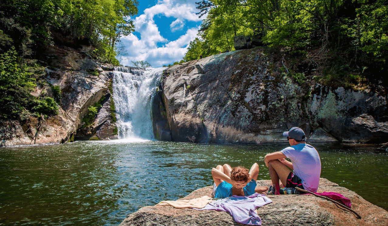
Elk River Falls | Elk Park
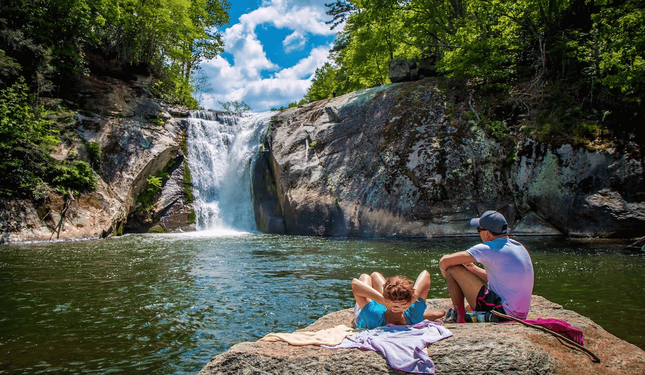
Located just outside Banner Elk, Elk River Falls stands out as one of the most easily accessible large waterfalls in the North Carolina mountains with a 50-foot waterfall that drops into a large pool below.
The hike to the base is approximately 0.6 miles round trip on a well-marked trail. Though short, the path features a natural terrain with exposed tree roots and rocks that require mindful steps. Visitors can view the falls from an overlook near the top or continue down to the base for a closer view. There are flat rocks and plenty of places to sit and enjoy the scenery or enjoy a picnic. Please do not jump in the water under the falls. There is a creek below if you want to cool off.
Directions: From Banner Elk, take NC-194 North for approximately 15 miles to the right on HWY 19 in Elk Park. Turn onto Elk River Road and continue several miles to the Elk River Falls parking area. The trailhead is located at the back of the parking lot.
Elk River Falls | Photo from Blue Ridge Mountains Travel Guide
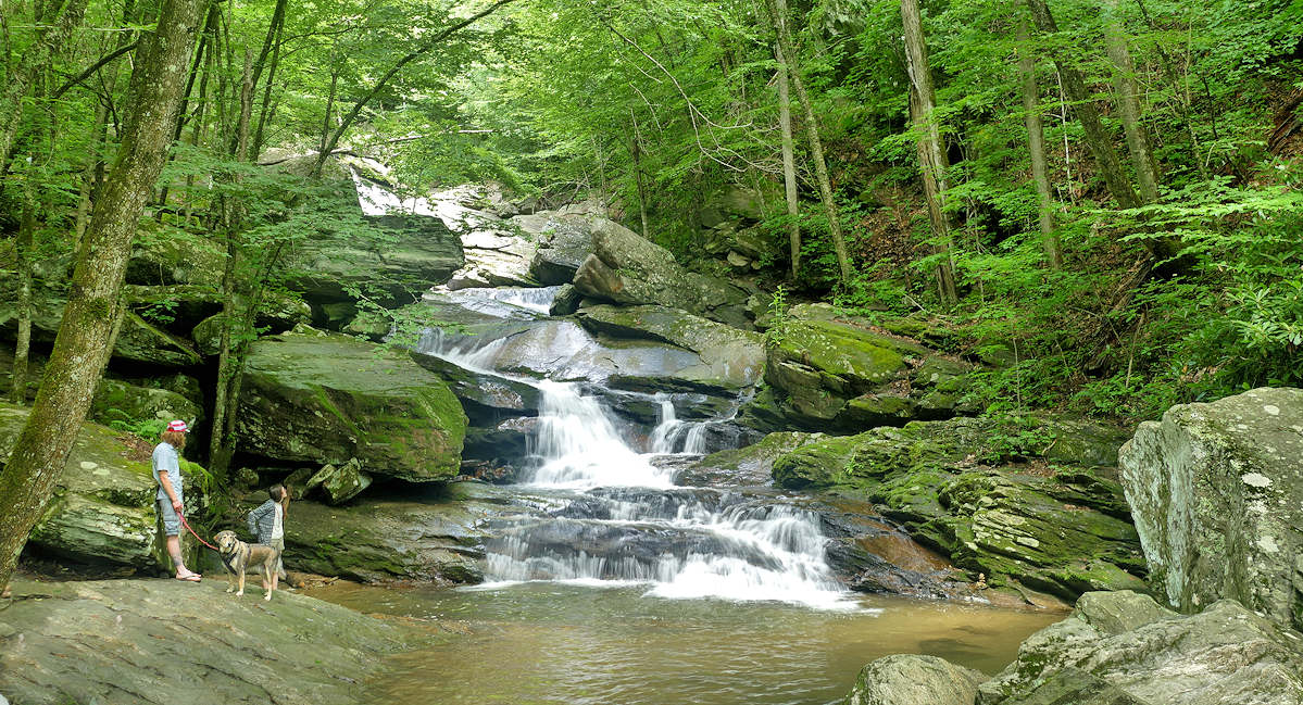
Crab Orchard Falls | Valle Crucis
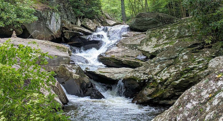
Crab Orchard Falls offers a family-friendly waterfall excursion. This beautiful hidden gem cascades, pools, and eddies over a series of massive boulders, creating a mountain escape just minutes from the historic Mast General Store. Parking is at the Valle Crucis Conference Center.
Hikers can choose between two distinct paths that begin just behind Johnson Hall on the conference center campus. For a steeper, more traditional trek, the classic trail measures roughly 1.3 miles round-trip.
Alternatively, outdoor enthusiasts can opt for the newly completed trail, which provides a gentler, more sustainable slope up the mountain designed to let native mountain plants flourish along the path. Boasting a moderate 324-foot elevation gain, visitors can easily customize their adventure by taking an up-and-back route on the new trail, or combining both paths to form a scenic 1.3-mile loop. The trails are free to explore, open seven days a week, and completely dog-friendly for leashed companions.
Directions: From Boone, take NC-105 South to Broadstone Road. Follow into Valle Crucis and make a left on NC-194. Turn onto Skiles Way at the Valle Crucis Conference Center and follow signs for the waterfall parking area behind Johnson Hall. The trailheads begin just beyond the building.
Crab Orchard Falls | Photo from SeeSugar.com
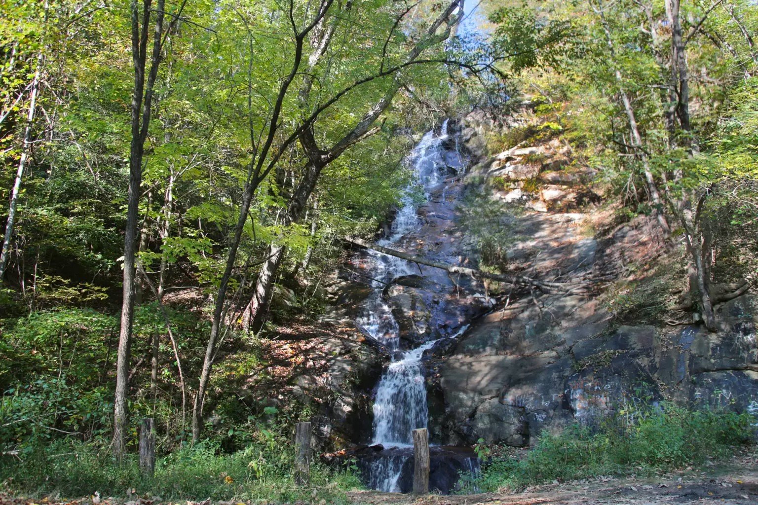
Silvervale Falls | Blowing Rock
For travelers seeking a scenic beauty with absolutely zero hiking required, Silvervale Falls is the High Country destination. This stunning, 80-foot roadside cascade is tucked away along Waterfalls Road, located roughly midway between Blowing Rock and Lenoir. It serves as a spectacular, effortless addition to any afternoon drive through the foothills.
As a true "drive-up" waterfall, it offers an incredible visual reward for families with small children, individuals with limited mobility, or anyone looking for a quick, scenic photo op. A small pull-off beside the road provides easy access, and the waterfall can be viewed directly from the parking area—or even from inside your vehicle.
Directions: From Blowing Rock, take US-321 South toward Lenoir for approximately 8.5 miles. Turn right onto Waterfalls Road (SR 1371) and continue about 1.8 miles. A small roadside pull-off is located beside the waterfall.
Silvervale Falls | Photo from Southeast Waterfall & Hiking Guide
Waterfalls Park (Bobby McLean Memorial Park) | Newland
Waterfalls Park, officially designated as the Bobby McLean Memorial Park, is a free public park in Newland featuring a scenic 50-foot, three-tiered waterfall along Blood Camp Branch providing a breath of fresh air just a short drive from the surrounding mountain hubs.
This is uniquely designed to accommodate visitors of all adventure levels. The lowest tier of the falls is completely visible right from the parking area, making it a spectacular choice for a quick roadside photo or a scenic picnic lunch at the park's tables. For those eager to explore further, a short, pet-friendly trail runs directly alongside the rushing water. This path allows hikers to easily ascend the hillside to view the upper cascades up close. The 92-acre park was preserved in memory of Bobby McLean and offers a peaceful natural setting that is open for the public to enjoy.
Directions: From downtown Newland, 194 N for about 1 mile, then turn onto Waterfalls Park Road. The entrance and parking area are located just off the road.
Waterfalls Park | Photo from NC Tripping
Laurel Creek Falls (Trash Can Falls) | Sugar Grove
Situated 15-20 minutes outside of downtown Boone, Laurel Creek Falls, aka Trash Can Falls is one of the most popular summer gathering spots in the High Country. Named historically for the large green trash receptacle that once marked its roadside trailhead, this spot is famous for its rocks for sunbathing and swimming holes. This is a hugely popular spot for High School and College students.
Reaching the mini-gorge requires a very brief 0.3-mile out-and-back trek that takes 5 to 10 minutes to complete, although sections can be steep and slippery requiring a bit of careful maneuvering over exposed roots and boulders. Once at the base, visitors typically spend an hour or two sunbathing on the large rock slabs or wading into the bracingly cold swimming hole.
Directions: From Boone, travel along U.S. 421/U.S. 321 until you come to the intersection of both highways near Skate World. Take a left onto U.S. 321 and drive until you come to the U.S. 321 Bridge over the Watauga River. Either turn left on Watauga River Road and park in the lot, or proceed further on 321 to a gravel pull off on the right side of 321. From the gravel pull-off, cross the street. Walk downstream 10 to 20 yards and you should see a path through the woods that leads to Laurel Creek Falls.
Green Mountain Creek Falls | Blowing Rock
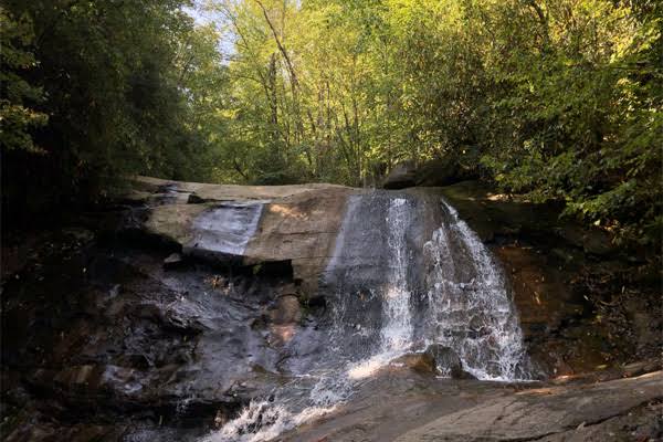
Green Mountain Creek Falls is a roadside waterfall, right along hwy 221 between Blowing Rock and Linville. Dropping nearly 20 feet down a steep, rocky face, the water empties into a shallow plunge pool before disappearing into a roadside culvert. It provides an excellent, high-reward viewing experience for families, travelers with limited mobility, or anyone looking to add a quick splash of natural beauty to their scenic mountain drive.
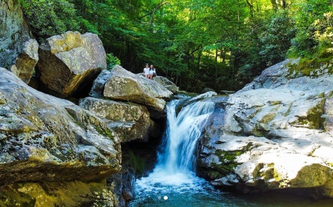
Laurel Creek Falls | Photo from DiscoveringYourCity
A small gravel pull-off provides convenient access for visitors to stop, view the falls, and take photos without a hike. Its easy accessibility makes it a popular stop for families, travelers with limited mobility, and those exploring the scenic mountain roads. The falls can be especially scenic during winter when portions of the cascading water may freeze into ice formations.
Directions: From downtown Blowing Rock, take US Highway 221 South toward Linville and Grandfather Mountain. Continue approximately 8 miles until reaching the small gravel pull-off near Green Mountain Creek.
Green Mountain Creek Falls | Photo from Southeast Waterfall & Hiking Guide
The Cascades | Milepost 271.9, Blue Ridge Parkway
Located at E.B. Jeffress Park along the Blue Ridge Parkway in Ashe County, The Cascades is a highly popular destination. The multi-tiered waterfall follows Falls Creek as it descends along the Blue Ridge Escarpment, creating a series of cascades through the surrounding hardwood forest.
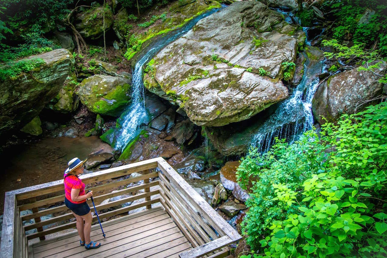
The waterfall is accessible by a family-friendly 1-mile loop trail. The path begins as a paved walkway near the park’s public restrooms before transitioning to gravel and descending through the forest. Hikers cross a wooden bridge over Falls Creek and continue down stone steps to two separate, structurally reinforced viewing platforms overlooking the cascades. Because the stone walls protect visitors from sheer drop-offs, staying strictly behind the barriers is highly recommended to enjoy the scenery safely.
Directions: From Boone, take US-421 South toward Deep Gap for 11 miles. Turn right to access the Blue Ridge Parkway and make a left onto the parkway for 4.5 miles to Milepost 271.9, where E.B. Jeffress Park is located.
The Cascades | Photo from Seth M
Gragg Prong Falls | Linville
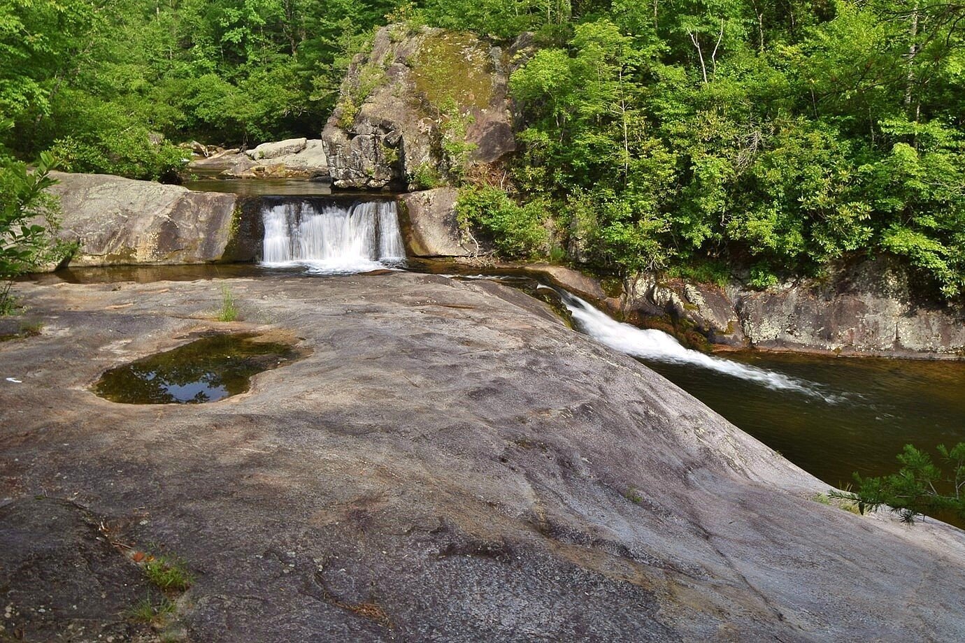
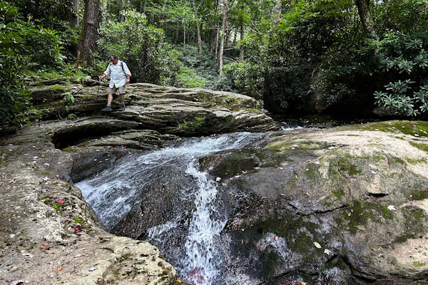
If you love hiking alongside mountain streams, Gragg Prong Falls is one of the High Country's best-kept secrets. Located in the Wilson Creek area near Linville, this beautiful trail follows Gragg Prong through a lush forest, where the sound of rushing water is your constant companion. Instead of a single dramatic waterfall, you'll discover a series of cascading falls, smooth rock formations, and crystal-clear pools that invite you to slow down and enjoy the surroundings.
The Gragg Prong Trail ranges from about 1.5 to 4 miles round trip, depending on how far you choose to explore. Marked by white blazes as part of the Mountains-to-Sea Trail, it stays close to the creek for much of the hike, offering plenty of places to stop for a picnic, dip your feet in the cool water, or simply relax beside the stream. On warm summer days, it's easy to spend as much time enjoying the creek as hiking the trail. Those looking for a longer adventure can continue along connecting trails to other nearby waterfalls, including Hunt-Fish Falls.
Directions: From Boone, take NC-105 South toward Linville for 20 miles. Proceed straight across 221, follow for .3 miles and take a left on Roseboro Road. This will take you down into the Wilson Creek area. Follow for about 6.5 miles to parking on the right, 5189 Roseboro Rd, Linville, NC 28646.
Gragg Prong Falls | Photo from Waterfall Hiker
Hunt-Fish Falls | Photo from Justin P
Linville Falls | Milepost 316.4, Blue Ridge Parkway
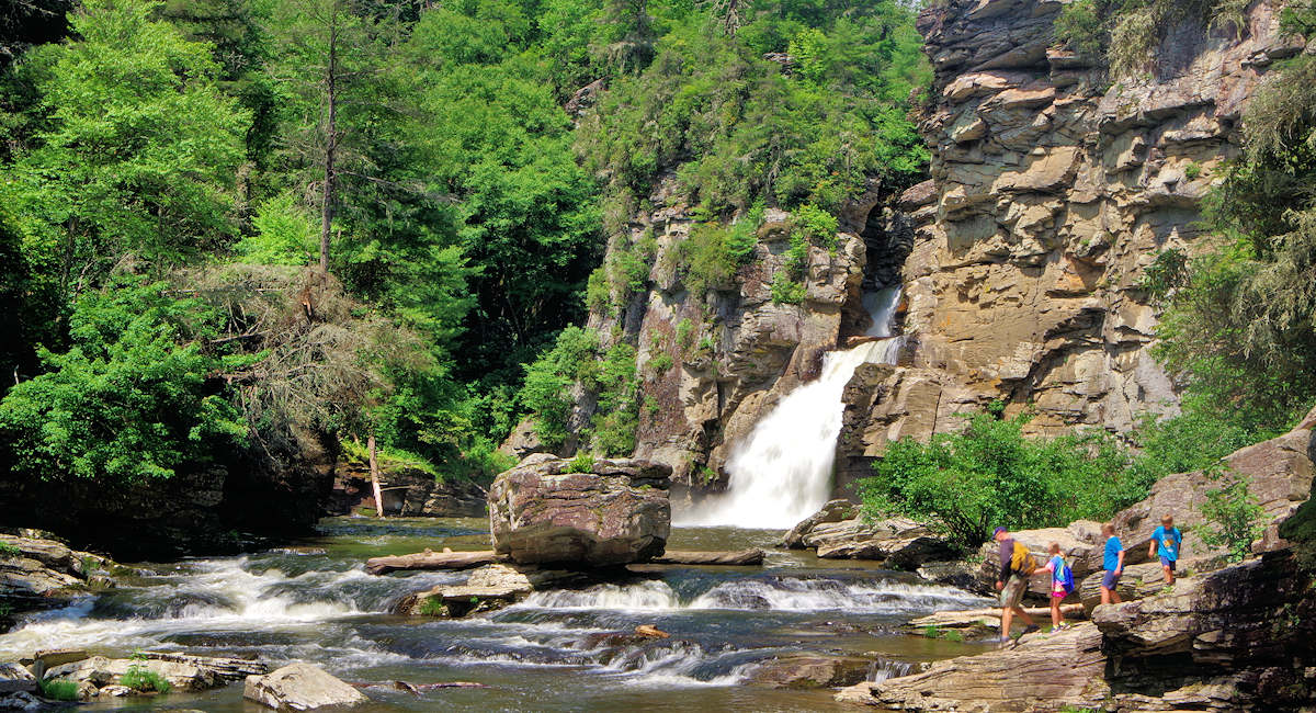
Linville Falls is one of the most recognized waterfalls in the Blue Ridge Mountains, featuring a three-tiered cascade that drops into Linville Gorge, often referred to as the “Grand Canyon of the Southern Appalachians.” Located along the Blue Ridge Parkway, the falls are surrounded by steep cliffs, forested mountains, and views of the rugged Linville Gorge landscape.
2026 Amenities Update: While the main trails are accessible via the park's spur road, the visitor center, campground, and picnic area remain closed. Portable restrooms are available in the main parking lot.
Visitors can utilize the Erwin’s View Trail, a moderate 1.6-mile round-trip hike that leads to four overlooks: Upper Falls, Chimney View, Gorge View, and Erwin’s View, which offers one of the best views of the entire waterfall providing a panoramic vantage point perfectly suited for photographing the full, dramatic drop of the falls into the river canyon.
Note: Due to ongoing storm recovery efforts, alternative routes like the Plunge Basin Trail and the Upper Falls trail are temporarily closed. Swimming in the river or climbing on the slick rock faces surrounding the falls is strictly prohibited at all times.
Directions: From Boone, take US-321 South toward Blowing Rock, then continue toward Linville. Access the Blue Ridge Parkway and travel to Milepost 316.4, where the Linville Falls area is located.
Linville Falls | Photo from SeeSugar.com
Otter Falls | Seven Devils
Otter Falls is a family-friendly destination for hikers seeking a quick escape into the wilderness. This hidden gem culminates at a 20-foot waterfall on Valley Creek, where a sturdy wooden observation deck and stairs allow visitors to descend right down to the misty base to splash around in the cool mountain water.
The park features a moderately strenuous 1.2-mile loop trail that winds through a dense hardwood forest with steady elevation changes. The trail system includes Red, Blue, and Orange routes, which are linked by well-maintained wooden bridges. Visitors are encouraged to review and snap a quick photo of the trail map at the kiosk before starting their descent.
Note: While the waterfall itself is open, the Upper Red Trail remains closed due to lingering storm impacts. The rest of the park's trail network is fully open and accessible.
Directions: From Boone, take NC-105 South toward Banner Elk. Turn onto Seven Devils Road and continue into the town of Seven Devils. Follow signs for Otter Falls Trail and park at the trailhead located off Skyland Drive.
Otter Falls | Photo from Blue Ridge Mountains Travel Guide
Buckeye Creek Falls | Beech Mountain
The journey begins at the popular Buckeye Recreation Center, which offers excellent public facilities and a large parking area.
The moderate trail descends alongside the water, guiding hikers through a landscape rich with native plants, unique geological rock formations, and local wildlife. Approximately halfway through the trek, hikers reach a footbridge that sits directly in front of Buckeye Creek Falls. From this vantage point, visitors can soak in the beauty of the 25-foot cascade as it slides over a massive rock face. The steady climb back out follows the cascading creek, filling the forest with peaceful, rushing water sounds. For those traveling with pets, leashed dogs are welcome to explore the trail, though swimming is prohibited.
Note: Due to historic flooding that destroyed a lower footbridge, the trail cannot currently be completed as a full loop. However, the route remains open as an out-and-back trek to the waterfall.
Directions: Drive to the Buckeye Recreation Center at 1330 Pine Ridge Rd, Beech Mountain, NC. Park behind the playground and take the Fall Trail descending steeply through the woods.
Buckeye Creek Falls | Photo from Beech Mountain NC
Temporarily Closed:
Crabtree Falls | Milepost 339.5, Blue Ridge Parkway
Standing as one of the most magnificent spectacles along the Blue Ridge Parkway, Crabtree Falls is a true crown jewel of the NC High Country. Water cascades over a 60-foot sheer rock cliff, treating hikers to a spectacular, misty view at the base.
The journey to the falls is a rewarding, moderately challenging 2.5-mile loop that winds through a dense, vibrant forest filled with rhododendron and summer wildflowers. Averaging about an hour and twenty minutes to complete, this popular path offers stunning woodland scenery at every turn. It is a highly frequented haven for outdoor enthusiasts, so visitors can expect a lively, community feel on the trail. For those traveling with four-legged companions, leashed dogs are always welcome to join in on the adventure.
Note: This section of the Blue Ridge Parkway and the accompanying trail are temporarily closed for storm recovery repairs. Check the National Park Service road status before planning a future trip.
Crabtree Falls | Photo from wvlivingston
Boone Fork Trail (Hebron Falls) | Milepost 296.4, Blue Ridge Parkway
Tucked away inside the 4,200-acre Julian Price Memorial Park near Blowing Rock, Hebron Falls—frequently referred to as Boone Fork Falls—is one of the most unique water features in the High Country. Rather than dropping over a sheer vertical cliff face, this wide cascade weaves and tumbles down a steep incline over an expansive bed car-sized boulders.
When open, the falls serve as the crown jewel of the popular 5.5-mile Boone Fork Trail loop. To visit the falls specifically, hikers typically embark on a 3.2-mile round-trip out-and-back trek starting from the Price Park Picnic Area at Milepost 296.4. The journey is guiding travelers through sun-drenched meadows, dense tunnels of rhododendron, and parallel rocky creeks. Because the final approach requires navigating slick, uneven rocks and a steep side trail to get down to the boulder field, it is a trek that demands sturdy footwear and agile footing.
Note: The Boone Fork Trail is currently closed for vital storm repairs and trail rehabilitation. Hebron Falls is inaccessible until the path safely reopens to the public.
Hebron Falls
Lower Pond Creek Falls | Beech Mountain
When open, the journey begins near the scenic shores of Lake Coffey, where hikers embark on a 1.2-mile round-trip out-and-back trek. The trail descends steadily for over a half-mile, guiding explorers past ancient, towering hemlock trees, tranquil pools, and a series of smaller cascading water features. A beautifully placed boardwalk and scenic overlook provide the perfect vantage points to sit and listen to the creek roar below.
Because the terrain is filled with exposed tree roots, boulders, and steep grades, sturdy hiking footwear is a must. While the climb back up to Lake Coffey guarantees a strenuous workout, the sheer serenity of the gorge makes it a highly sought-after sanctuary for foot travelers and nature lovers alike.
Note: The Lower Pond Creek trail system is currently closed to the public while crews conduct extensive storm recovery and trail infrastructure repairs.
Lower Pond Creek Falls | Beech Mountain, NC
As you lace up your boots and pack your camera, remember to hike safely, check trail statuses before you leave, and respect the fragile beauty of these mountain ecosystems by practicing Leave No Trace principles.
Love the High Country Lifestyle? Let’s Make it Home.
If you've been dreaming of waking up to mountain views every morning, contact us today to get a head start on your property search!
Summer in the NC High Country means daytime temperatures below 80°—perfect weather for hiking, sightseeing, and cooling off at local waterfalls and swimming holes. Exp… Read more

Summer Events
If there's one thing the NC High Country does well in the summer, it's live music.

Watauga County nonprofits
Giving back is an important part of life in the North Carolina High Country.

NC High Country Towns
Ever visited the NC High Country and wished you never had to leave?

Hiking
Here's a roundup of some must-visit hiking trails in the region.

trails
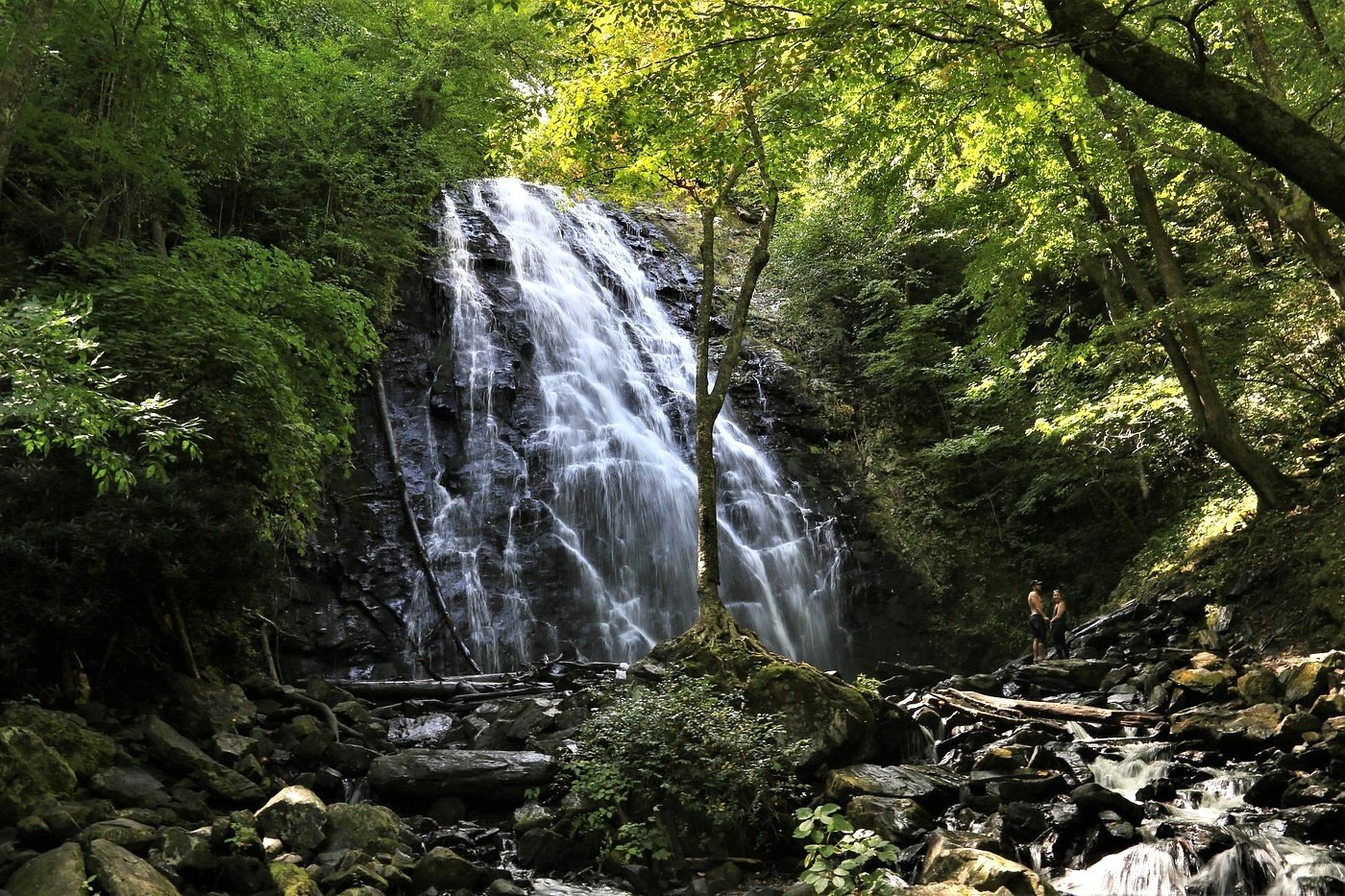
Among its many attractions, the region's waterfalls stand out as some of the most awe-inspiring.

picnic
Exploring the High Country and looking for the perfect picnic spot?

NC High Country Music Festival 2024
This month, our spotlight is on the equally vibrant music and art events celebrated throughout.

Dog-friendly attractions
From scenic hikes through our charming towns, we've have the top dog-friendly attractions.
Real estate is more than a transaction—it's a significant life decision. Our team provides the expertise, support, and strategy needed to help you move forward confidently. Let us guide your next chapter.

Leslie Eason Real Estate Team
(828) 484-4811
[email protected]
OPEN HOURS
Monday - Saturday
8:30AM - 7:30PM
Sunday
12:00PM - 5:00PM
774 E King St Unit A Boone, NC 28607