Explore Hiking in the NC High Country: Trails & Views
August 14, 2026
August 14, 2026
The NC High Country is home to some of the best hiking trails in the Eastern US, with options ranging from easy lakeside walks to mountain hikes with expansive Blue Ridge Mountain views. Whether you're looking for a relaxing walk or a more challenging trail, there are options for different skill levels, interests, and time commitments throughout Boone, Blowing Rock, and Linville.
Use this guide to find a trail that fits your plans and discover more of what makes hiking in the High Country a favorite way to explore the region.
And if you're up for more adventure, check out our guide to the Waterfalls in the NC High Country for more scenic spots to explore. Just click here.
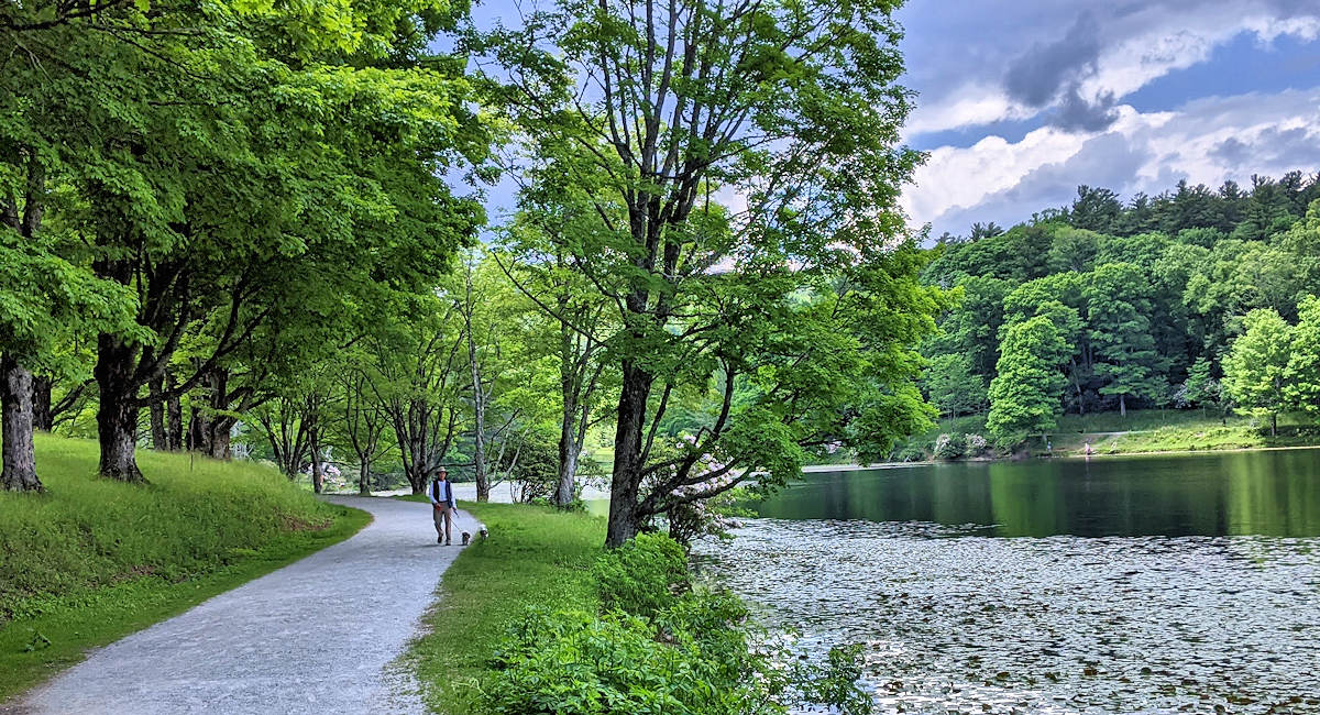
For an easy walk surrounded by mountain scenery, Bass Lake is a great option just outside Blowing Rock. Located along US 221, the 0.9-mile loop follows the lakeshore and is lined with rhododendron and mountain laurel.
The mostly level, unpaved trail has a gravel surface that is suitable for wheelchairs and strollers, making it an accessible option for a relaxed walk or jog. Visitors can also enjoy fishing at the lake. For a slightly longer outing, an alternate route extends the loop to about 1.2 miles.
Price Lake in Julian Price Memorial Park offers a mix of hiking, water activities, and relaxing scenery. Located along the Blue Ridge Parkway at Milepost 297, the park covers about 4,200 acres of rolling mountain terrain, with elevations ranging from 3,400 to nearly 4,000 feet.
Visitors can explore the trails around the lake, enjoy a picnic, or spend time on the water. Canoes, rowboats, kayaks, and stand-up paddleboards are available to rent at the on-site facility. The park is also home to the largest campground on the Blue Ridge Parkway, making it a popular spot for camping, fishing, and enjoying the surrounding trails.
Boone Greenway is an easy, accessible trail close to town. The trail system extends nearly four miles through Boone and follows the South Fork of the New River through open meadows and wooded areas. Most sections are paved or gravel and mostly flat, making the Greenway accessible to walkers, runners, cyclists, wheelchairs, strollers, and hikers.
The trail can be explored in shorter sections, with a few loop options for those looking for a quick walk. Clawson-Burnley Park provides convenient access and a 0.7-mile loop. Along the way, visitors will find benches, picnic areas, shelters, interpretive signs, and a historic ruin. With its gentle terrain and accessible paths, the Greenway is a good choice for families, beginners, or anyone looking for a relaxed way to explore the Boone area. Dogs must be on a leash (and picked up after), and rollerbladers and bikers should yield to walkers and runners.
Bass Lake | Photo from SeeSugar.com
Moderate
This moderate 5.2-mile loop at Julian Price Park that takes you through a variety of terrain, including cascading streams, open pastures, large boulders, and tunnels of rhododendron.
Along the way, you'll cross several streams and boardwalks and pass small waterfalls. To see the largest cascade (about 25 feet tall), watch for the “Hebron Falls” sign, it is one of the highlights and can be reached about a mile from the trailhead by following the trail to the right. With its mix of scenery and mostly manageable terrain, the Boone Fork Trail is a popular choice for hikers and trail runners exploring the NC High Country.
Located on the Blue Ridge Parkway Milepost 296.4 at Julian Price Park Picnic Area.
Moderate, or Continue to Cragway Peak for a challenge
For a moderate to challenging hike with panoramic mountain views, consider combining the Nuwati Trail and Cragway Trail in Grandfather Mountain State Park. Beginning at Boone Fork Overlook at Milepost 299.9 on the Blue Ridge Parkway, this 4-mile loop climbs more than 1,000 feet through forests, rocky terrain, and scenic overlooks.
The hike begins on a short connector trail that crosses Boone Fork Creek before reaching the Nuwati Trail. Turn right onto Nuwati Trail and follow it through a wooded section for about three-quarters of a mile until it intersects with Cragway Trail. From there, turn left and continue climbing along Cragway Trail, where you'll encounter several rock outcroppings and long-range views. One of the highlights is Top Crag View, a popular overlook with panoramic views of the Boone Fork Bowl. To complete the loop, take the Daniel Boone Scout Trail back down.
For hikers looking for a bigger challenge, the route can be extended by continuing on the Cragway Trail to Calloway Peak, the highest point on Grandfather Mountain at 5,946 feet. This section is more strenuous and includes cables and ladders to assist hikers through steep terrain.
A free hiking permit is required if continuing to Calloway Peak and can be completed at the trailhead kiosk before starting the hike. Dogs are allowed on a leash.
Easy
If you're looking for an easy-to-moderate hike with a mix of mountain views, forests, meadows, and historic scenery, Moses Cone Memorial Park offers several trails to explore. The estate has about 25 miles of former carriage roads, which now serve as wide, generally gentle hiking trails. The Figure Eight Trail is a 0.7-mile self-guided interpretive loop.
Flat Top Road or Firetower Trail is a 5-mile round-trip hike that starts at the Moses Cone Manor House and gradually climbs through forests and open meadows to the 4,558-foot summit of Flat Top Mountain. At the top, a historic four-story lookout tower provides expansive views of the surrounding mountains. The trail follows a former carriage road, making the steady climb manageable without steep sections.
For a shorter and easier option, the Trout Lake Loop is a 0.8-mile trail that circles the scenic man-made lake near the estate. The trail is accessible from a separate parking area off US 221 and is a good choice for a relaxed walk.
The Rich Mountain Trail follows another section of Moses Cone's former carriage road system. The trail gradually climbs toward Rich Mountain, with options to extend the hike depending on the route. Hikers can choose a shorter outing of around 5 miles round trip or explore connecting carriage roads for a longer hike of more than 11 miles.
Moderate
This trail is considered one of the best ‘bangs for the buck’ in terms of amazing views over a short distance. Located along the Blue Ridge Parkway at Milepost 302.8, this 1.5-mile round-trip hike climbs from the parking area to a series of rocky overlooks with views of Grandfather Mountain, the Linn Cove Viaduct, and Linville Gorge.
The trail climbs about 480 feet and includes a boardwalk that helps protect the fragile vegetation on the rocky terrain. Continue past the boardwalk to reach the 4,773-foot summit, where large boulders provide spots to sit and take in the views or take a picnic. The trail is part of the longer Tanawha Trail and Mountains-to-Sea Trail, but the short out-and-back route makes Rough Ridge an easy addition to a Blue Ridge Parkway outing.
Moderate
Located in Julian Price Park along the Blue Ridge Parkway, this moderate 2.3-mile loop begins at Sims Pond Overlook near Milepost 295.9.
The trail winds through wooded areas, open meadows, and valleys while crossing Sims Creek and passing beneath the Sims Creek Viaduct. As you make your way toward Green Knob, you'll encounter several small cascades and streamside sections before reaching the summit at approximately 3,920 feet.
With a gradual climb of about 500 feet, the trail is manageable for many hikers, including families with children. Be prepared for several stream crossings along the route, and consider wearing waterproof hiking shoes. Leashed dogs are also welcome.
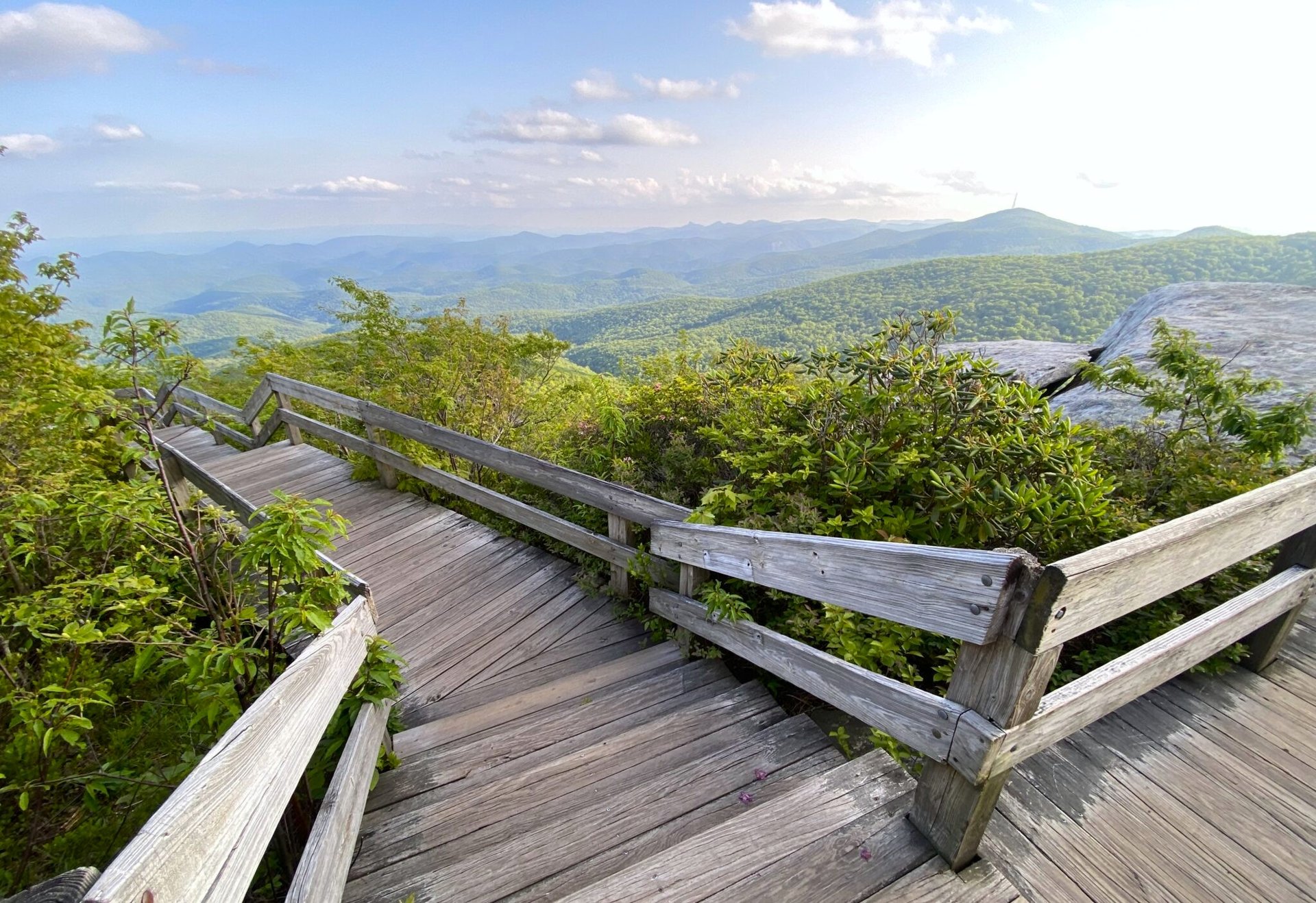
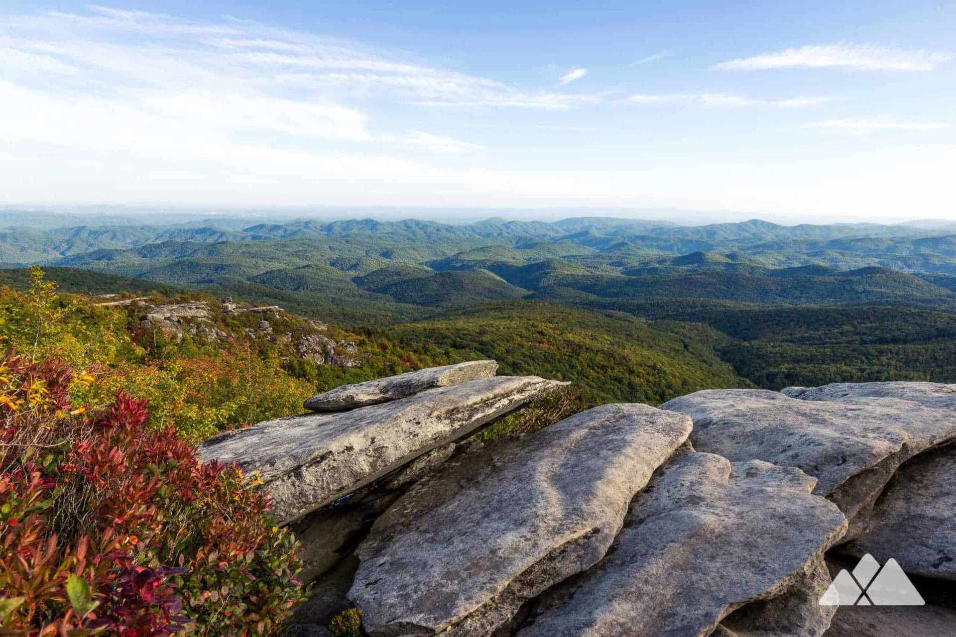
Rough Ridge | Photo from Sugar Mountain, NC (left) and Asheville Trails (right)
Moderate
Elk Knob State Park is a great place to explore if you're looking for a hike with panoramic mountain views. Located about 11 miles north of Boone, the park protects Elk Knob and the headwaters of the North Fork of the New River.
The 3.8-mile Summit Trail leads to an overlook with views of Mount Mitchell, Mount Rogers, Grandfather Mountain, and the area's three ski resorts. For an easier option, the 1-mile Beech Tree Loop offers a shorter way to explore the park. Visitors can also find backcountry campsites along forested trails and streams, while winter visitors can use about a mile of ungroomed trail for cross-country skiing and snowshoeing.
The park has four trails (click here for trail details), though portions of the Backcountry Trail remain closed due to damage from Hurricane Helene.
Challenging
The Profile Trail is one of the most famous and challenging trails in the High Country, offering a rewarding climb on the western side of Grandfather Mountain State Park. Beginning near Banner Elk on NC Highway 105, this strenuous trail climbs approximately 1,775 feet over 3.6 miles before reaching Calloway Gap on the mountain's crest.
The trail passes through several distinct natural communities, crossing streams, rhododendron thickets, hardwood forests, and areas filled with seasonal wildflowers. As the elevation increases, the terrain becomes steeper, with benches placed along the route for rest stops. One unique feature is "Peregrine's Flight," a section where large boulders have been arranged to create a stone walkway. Hikers will also have the opportunity to view the mountain's famous profile formation before reaching higher elevations.
Those planning the full hike should allow several hours to complete the journey, especially if extending the route beyond Calloway Gap.
Easy
Beacon Heights Trail is a great option near Grandfather Mountain. Located at Milepost 305.2 on the Blue Ridge Parkway, this trail is less than a mile round trip and leads through a forested, rocky path to two open quartzite overlooks.
As you approach the crest, a bench marks a fork in the trail. The left path leads to an open area facing north and east, while the right path leads to a south-facing rock outcropping. Once you emerge from the forest, both areas open up to wide views of the layered mountains along the Blue Ridge, including Table Rock, Hawksbill Mountain, Grandmother Mountain, and Grandfather Mountain.
The two rock outcrops face different directions, making Beacon Heights a popular spot for both sunrise and sunset. Its short distance also makes it a manageable choice for families and hikers looking for a quick trail with expansive views.
Moderate, with some steep parts near summit
For hikers looking for mountain views, Hawksbill Mountain and Table Rock are two popular spots to explore in the Linville Gorge area. The 1.9-mile round-trip hike to the 4,009-foot summit of Hawksbill Mountain leads to panoramic views of the Linville Gorge Wilderness Area, with the Linville River and valley floor about 2,000 feet below.
From the summit, you'll have wide views in several directions, including Grandfather Mountain to the north, Mount Mitchell to the southwest, and the Piedmont to the east. Nearby Table Rock offers another scenic 2.2-mile round-trip hike with similar views and is also a popular destination for rock climbers.
For the shortest route, take I-40 east to Marion, then U.S. Highway 221 north to Linville Falls. From there, follow Highway 183 to Highway 181, then turn onto Gingercake Road (Road 1264).
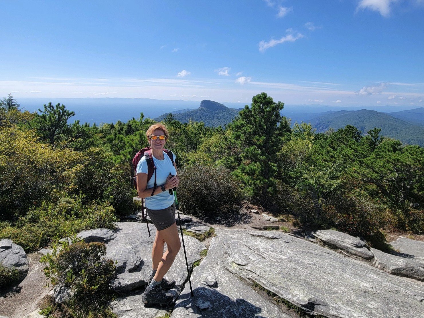
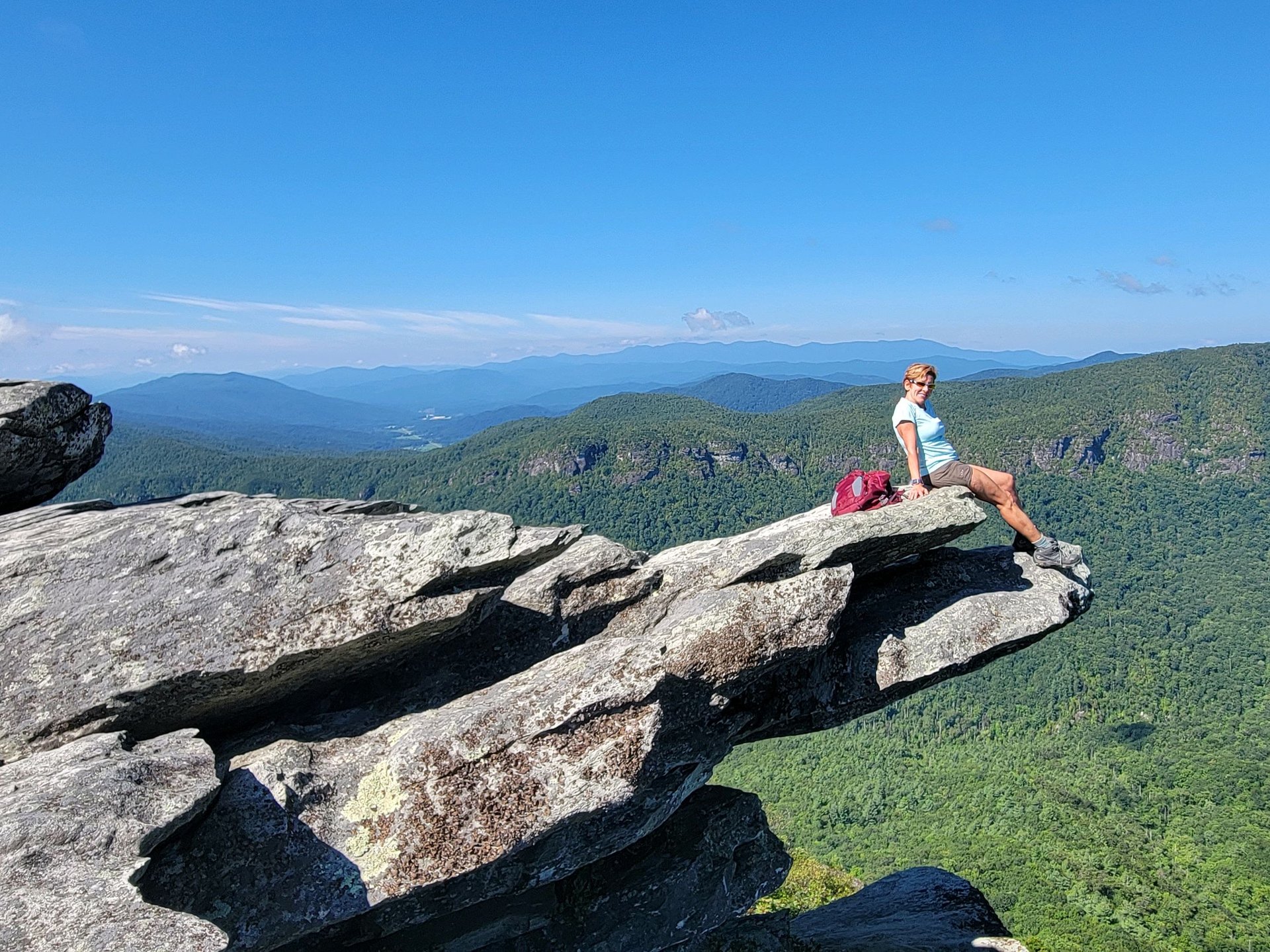
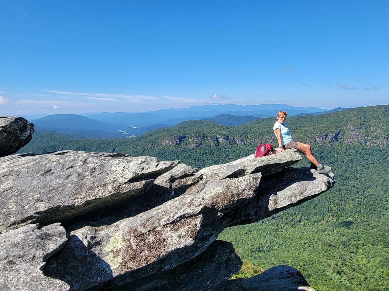
Leslie Eason at Hawskbill Mountain
Moderate to Challenging
Often called the “Grand Canyon of Eastern America,” the gorge is home to several well-known landmarks, including Linville Falls, Table Rock Mountain, Shortoff Mountain, Hawksbill Mountain, the Chimneys, and Sitting Bear.
With about 39 miles of trails throughout the wilderness area, visitors can choose from hikes ranging from shorter outings to more challenging backpacking routes. The terrain varies significantly, with elevations ranging from about 1,300 feet along the Linville River to more than 4,000 feet on the surrounding mountains. Hiking, backpacking, mountain biking, and rock climbing are popular activities, while camping is also available with the required permits.
Easy
If you're looking for a scenic stop without a long hike, Wiseman’s View offers some of the best views of Linville Gorge. Located in Pisgah National Forest at about 3,400 feet, the overlook features two rock observation decks with views of the Linville River about 1,500 feet below and the peaks of Hawksbill and Table Rock across the gorge.
A short, paved trail of about 0.2 miles connects the parking area to the viewing areas. The lower deck requires some steps, while the upper viewing area is accessible to wheelchairs and scooters. Wiseman’s View is about four miles from the Linville Falls parking area and can be reached from the Linville Falls community via Kistler Memorial Highway.
From hiking trails and scenic overlooks to lakes, waterfalls, and mountain views, outdoor adventure is part of the lifestyle in Boone, Blowing Rock, and the surrounding High Country communities.
If you're thinking about making the NC High Country home, the Leslie Eason Real Estate Team can help you find a property that puts you close to the places and experiences you enjoy most. Explore the High Country, find your favorite trail, and discover what it could be like to call the mountains home.
Reach us anytime at 828-484-4811 or [email protected].
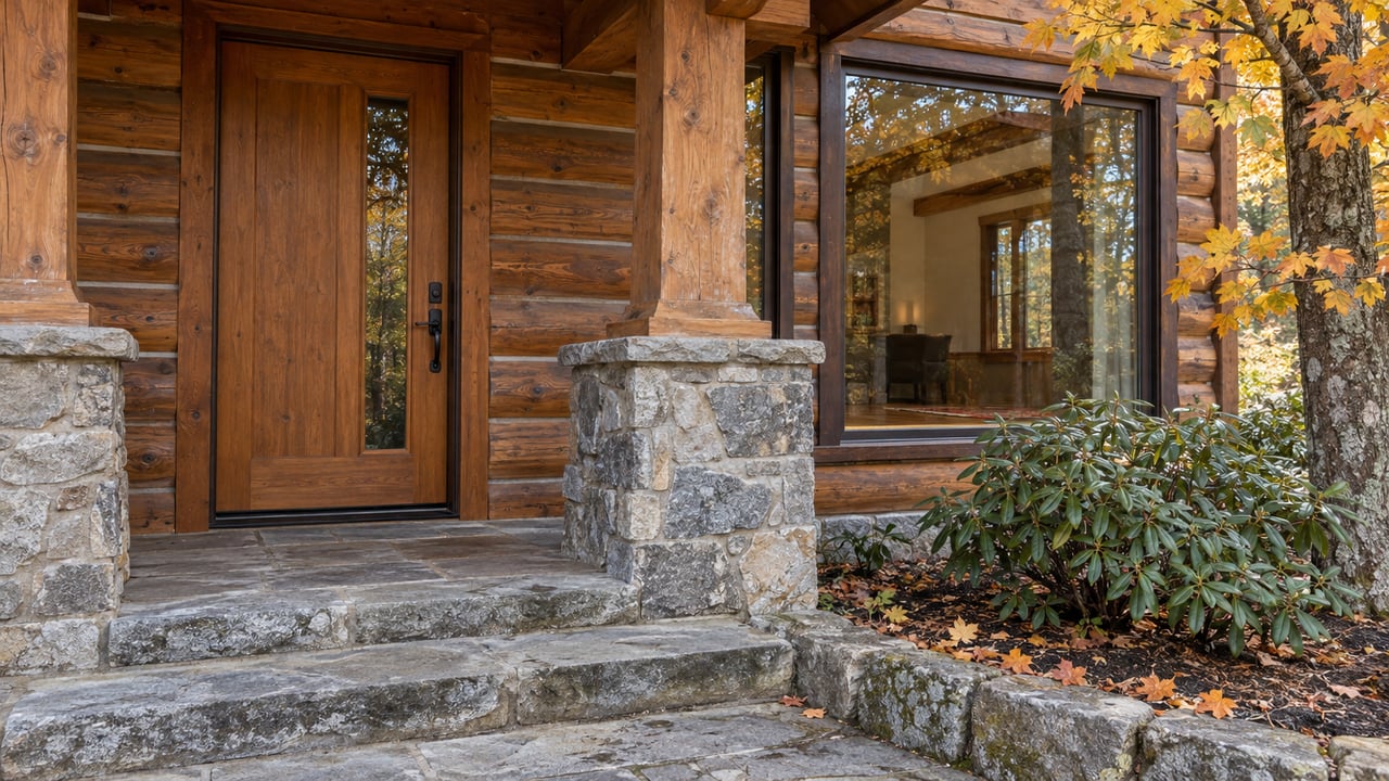
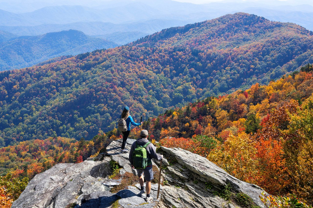
Fall in the High Country

Real estate is more than a transaction—it's a significant life decision. Our team provides the expertise, support, and strategy needed to help you move forward confidently. Let us guide your next chapter.

Leslie Eason Real Estate Team
(828) 484-4811
[email protected]
OPEN HOURS
Monday - Saturday
8:30AM - 7:30PM
Sunday
12:00PM - 5:00PM
774 E King St Unit A Boone, NC 28607